Site Survey
This unit equips learners with practical skills to conduct accurate site surveys for construction and civil engineering projects. By the end, learners will be able to collect, record, and interpret site data needed to guide design, costing, and safe execution of works.
What Learners Are Anticipated to Learn
1. Purpose of Site Survey - Understand why surveys are done: establish boundaries, levels, existing features, soil conditions, and utilities before design starts.
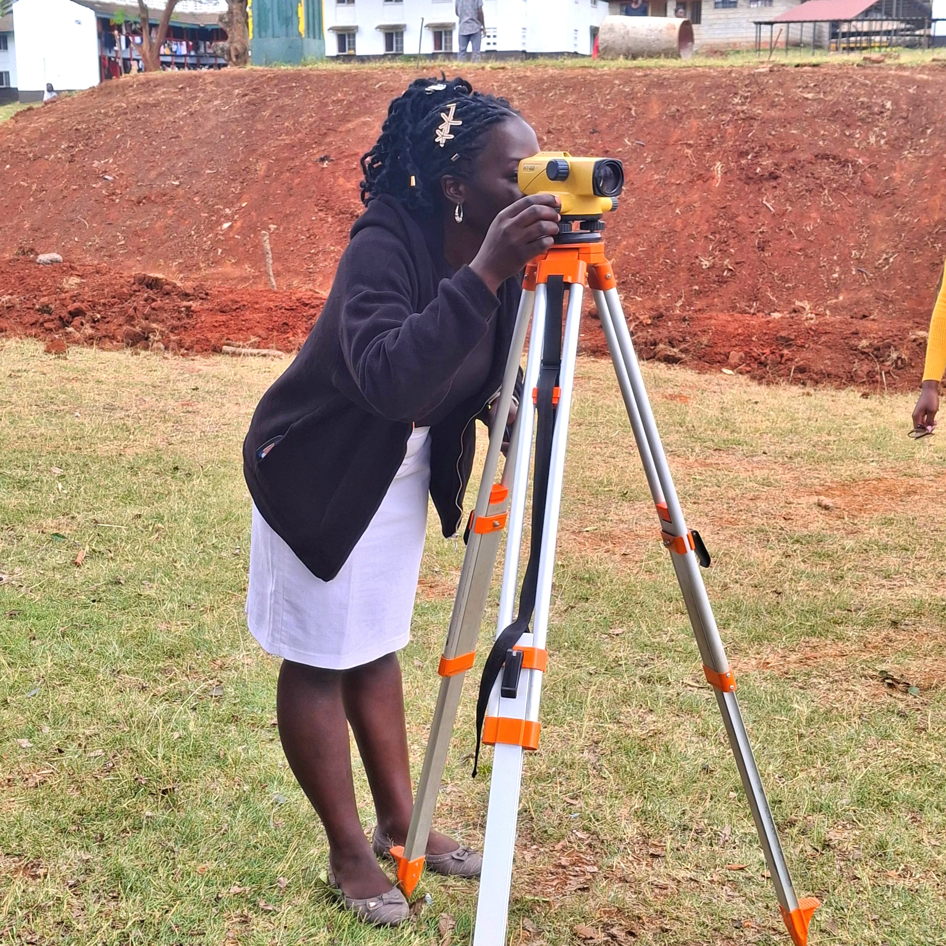
2. Survey Equipment Use- Identify and operate tools such as tape measures, dumpy levels, total stations, GPS, ranging rods, and pegs. Learn setup, calibration, and care.
3. Field Procedures - Carry out reconnaissance, establish control points, take linear and angular measurements, record level data, and mark points on site.
4. Data Recording & Sketching - Keep accurate field notes, booking sheets, and prepare preliminary site sketches showing key features, slopes, and access.
5. *Health & Safety - Apply safety rules when working near roads, excavations, and live services. Use PPE and follow risk assessment protocols.
6. *Interpretation & Reporting* - Transfer field data into simple plans, sections, and reports that engineers, architects, and foremen can use.
*What Learners Need to Know by End of Course*
By completion, learners should be able to:
1. *Plan a survey* - Select suitable methods and equipment for a given site and task.
2. *Execute fieldwork accurately* - Measure distances, angles, and levels within allowable tolerances, avoiding common errors like parallax or misbooking.
3. *Identify site constraints* - Spot existing structures, trees, waterways, power lines, and poor soils that affect design.
4. *Produce usable outputs* - Compile clear field notes, reduce level data, and draft a scaled site plan with legend, north point, and spot heights.
5. *Communicate findings* - Write a concise site survey report stating recommendations, hazards, and next steps for the project team.
6. *Uphold professional standards* - Demonstrate teamwork, accuracy, honesty in data, and adherence to safety and environmental guidelines.
*Outcome*
Learners will leave the unit ready to support technicians and engineers in real projects, ensuring that construction starts on reliable, well-documented site information.